What is Drone Surveying and Mapping?
Drone surveying and mapping is an advanced method of gathering precise, high-resolution data about a geographic area. This technique uses drones, or unmanned aerial vehicles (UAVs), equipped with advanced sensors and cameras to capture aerial images of the landscape.
These images are then processed using specialized software to produce 2D maps or 3D models of the terrain.
Not only does this application of drone technology save time and resources, it also improves safety by reducing the need for manual, ground-based surveying.
With their ability to access hard-to-reach areas and capture vast amounts of data rapidly, drones have proven to be invaluable tools in modern surveying and mapping endeavors.
Revolutionizing Aerial Inspection and Monitoring Services
Industries from construction to agriculture, energy production, and telecommunications are reaping the benefits of drone use, or Unmanned Aerial Vehicles (UAVs), particularly in drone surveying and mapping.
The traditional method of collecting data prior to drones was often very time intensive and manual, and involved risks to operators.
Now, with aerial imagery, mapping, and the capability to survey entire agricultural fields, buildings and structures, or construction sites, the process of completing aerial surveying has been completely optimized and transformed.
In the following sections, we’ll go over some examples in detail.
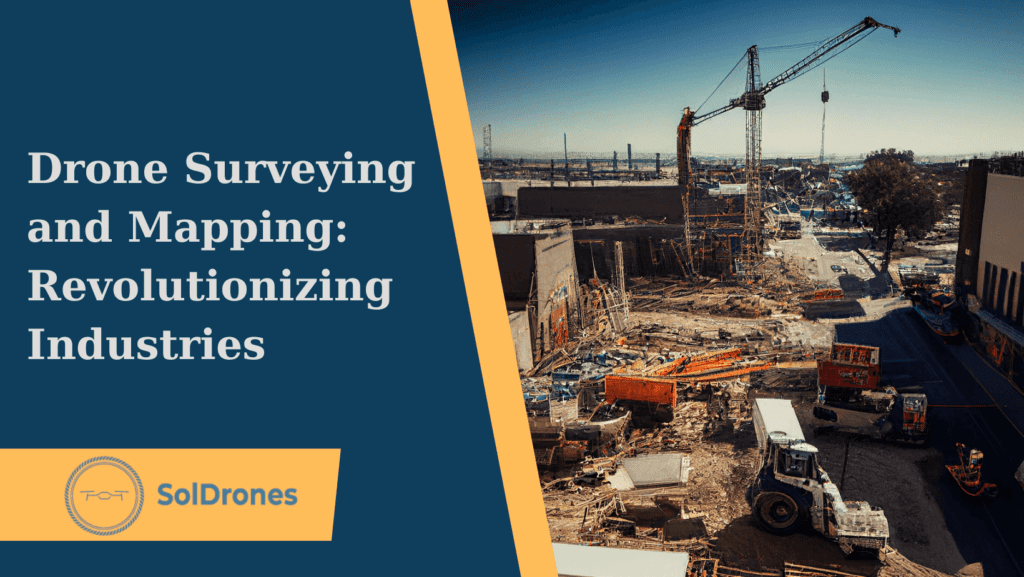
Drones for Construction Site Progress Monitoring
In the construction industry, drones have become invaluable tools. They enable efficient tracking of project progress, a critical aspect in ensuring timely completion and adherence to budget.
Companies that are pioneering drone-based monitoring services allow construction managers to readily identify potential issues and maintain open communication with clients through visual updates.
Drones used in construction projects offer a swift and effective method to capture high-resolution images or videos that depict a precise snapshot of ongoing work. Creating orthomosaic maps – precise photos representing an area by combining aerial images through photogrammetry – can now be done at a rapid pace with drones and photogrammetry software applications like Pix4Dmapper or DroneDeploy.
Drone surveying and mapping have substantially improved the ability to collect precise measurements, gain a comprehensive aerial view of construction sites, and the overall project monitoring efficiency during operations.
Agricultural Crop Health Analysis and Solar Panel Inspections
Agricultural drone inspections give farmers quick access to reliable information about crop health, assisting with crucial decisions on irrigation and pest control.
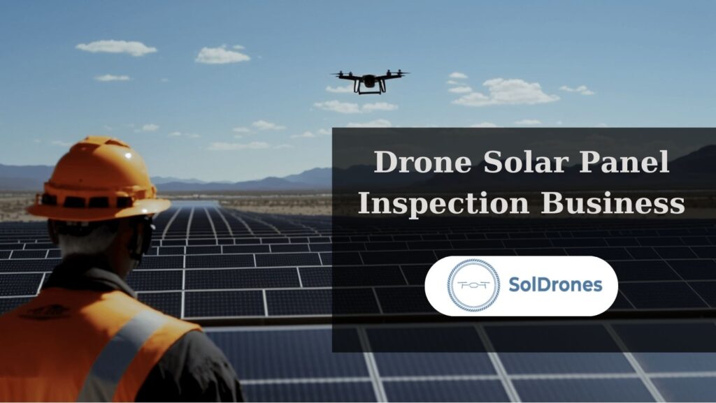
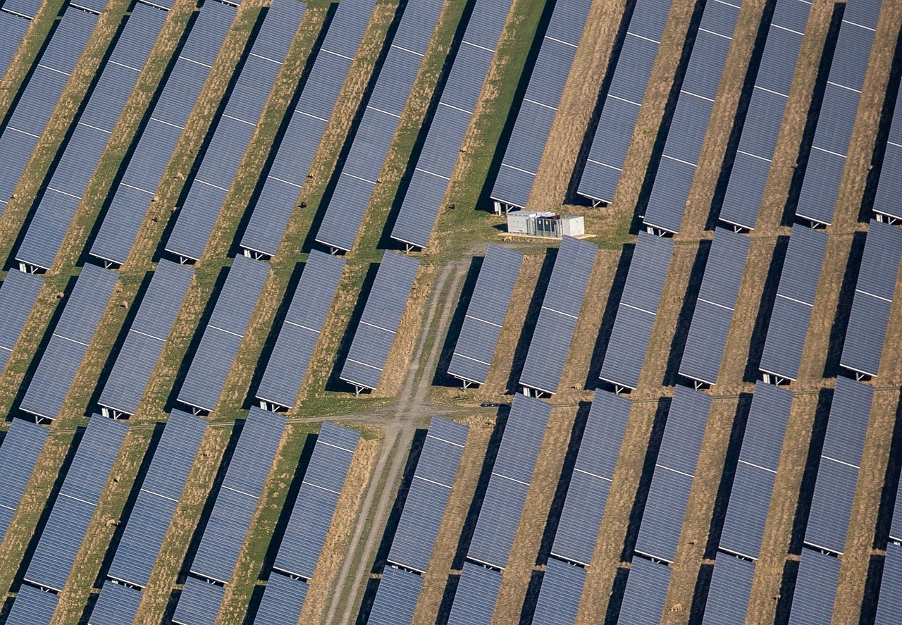
Similarly, drones have eased the burden of solar panel inspections, an essential practice for maintaining panel efficiency. Manual inspections can be time-consuming and hazardous, but drones mitigate these concerns, identifying damaged panels or areas requiring cleaning promptly and safely.
Search and Rescue (SAR) Operations: The Humanitarian Side of Drones
Drones equipped with thermal imagery cameras have become essential in SAR operations, providing live images back to rescue teams on the ground and significantly improving response times and success rates. They play a pivotal role in wilderness SAR missions, urban disaster response assistance, and missing person searches coordination.
Their wide-area coverage, nighttime capabilities, and real-time data sharing improve communication and decision-making among all parties involved, making drone technology an indispensable tool in modern SAR operations.
Disaster Management and Mitigation
Drones have also found a critical role in disaster management and mitigation. They are capable of quick, real-time data collection in post-disaster situations such as earthquakes, tsunamis, hurricanes, and fires.
This allows for accurate damage assessment and faster allocation of resources to the most affected areas.
Drones can also assist in identifying victims who may need immediate assistance, thus enabling more efficient rescue operations.
Wildlife Monitoring and Conservation
Wildlife conservation has been significantly bolstered by the application of drone surveying and mapping. Leveraging the reach and minimal intrusion of drones, conservationists can efficiently monitor endangered species within vast habitats.
For instance, the Maasai Mara Wildlife Conservancies Association in Kenya has employed drones to monitor the movement and well-being of the endangered African elephants.
In an effective combination of search and rescue drone functions with conservation goals, drones can quickly scan extensive terrain for signs of threats such as forest fires or poaching activity, all while minimizing disruption to the wildlife under observation.
This innovation brings a new dimension to wildlife conservation efforts.
Precision Agriculture
In the realm of precision agriculture, drone surveying and mapping have become essential tools.
With their advanced multispectral sensors and GPS, drones provide detailed insights into crop health and irrigation needs, a practice known as Drone Crop Monitoring.
This allows swift responses to issues, optimizing yields and promoting sustainable farming. Crop spraying drones further augment this process, delivering fertilizers and pesticides precisely where needed, saving time and reducing environmental impact.
The benefits of using drones in agriculture are offering a sustainable, efficient, and revolutionary approach to crop management.
Climate Change and Environmental Studies
Drone technology is also positively impacting environmental studies and climate change monitoring through aerial surveying.
For example, Arctic scientists use drones to record ice cap melting, contributing critical data to climate change research.
It’s worth noting, however, that drones can have both positive and negative environmental impacts. They reduce carbon emissions by replacing traditional aircraft surveys, but if misused, they could disturb wildlife. As drone technology continues to advance, it promises a wealth of future business opportunities, unlocking new efficiencies and innovations across various industries.

Infrastructure Maintenance and Inspections
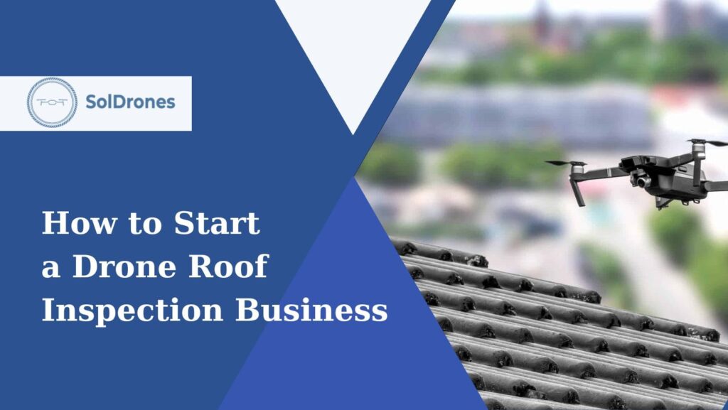
Drone technology, especially drone inspections, is becoming a game-changer for maintaining and inspecting critical infrastructure such as power lines, pipelines, solar panels and farms, bridges, utility structures, and communication towers. These UAVs can access areas that are often hazardous and difficult for human inspectors, ensuring safety while delivering high-quality data. One growing use case is drone roof inspection, where companies like Kespry offer services to inspect residential and commercial properties, significantly reducing the risk associated with manual inspections.
Final Thoughts
The advent of drone technology has initiated a paradigm shift in various industries. Its application in construction, agriculture, disaster management, and environmental studies is paving the way for safer, more efficient, and innovative solutions.
The transformative potential of drones extends beyond mere efficiency, with their ability to access hazardous areas, capture real-time data, and drive sustainability. While we must consider the environmental implications of drone usage, their benefits far outweigh the potential drawbacks.
As drone technology continues to advance and regulatory landscapes adapt, a vast spectrum of future business opportunities emerges, which could redefine traditional practices and ignite unprecedented innovation.
FAQs
What is drone surveying and mapping, and how is it transforming the construction industry?
Drone surveying and mapping is an advanced method that uses unmanned aerial vehicles (UAVs) equipped with sensors and cameras to gather precise, high-resolution data about a geographic area. In the construction industry, it is revolutionizing operations by providing accurate aerial views of construction sites and enabling efficient tracking of project progress. This technology improves safety and efficiency, allowing for better project monitoring and resource management.
How are drones being utilized in agriculture?
In the agricultural sector, drones are instrumental in monitoring crop health, assessing irrigation needs, and spraying fertilizers and pesticides precisely. This approach, known as Drone Crop Monitoring, allows farmers to respond quickly to issues, optimize yields, and promote sustainable farming practices.
In what ways are drones aiding in search and rescue (SAR) operations?
Drones equipped with thermal imagery cameras are proving invaluable in SAR operations. They provide live images back to rescue teams, improving response times and success rates in wilderness SAR missions, urban disaster responses, and missing person searches. Their wide-area coverage and real-time data sharing enhance communication and decision-making among all parties involved.
How is drone technology used in wildlife monitoring and conservation?
Drones are increasingly being used in wildlife conservation to monitor endangered species in their natural habitats without causing disturbance. For instance, the Maasai Mara Wildlife Conservancies Association in Kenya uses drones to monitor the movement and well-being of endangered African elephants, providing a new dimension to wildlife conservation efforts.
What role do drones play in infrastructure maintenance and inspections?
Drones have become essential for maintaining and inspecting critical infrastructure such as power lines, pipelines, bridges, and communication towers. They can access areas that are often hazardous and difficult for human inspectors, ensuring safety while delivering high-quality data. A growing use case is drone roof inspections, where companies like Kespry are offering services to inspect residential and commercial properties, reducing risks associated with manual inspections.