Deciphering LiDAR Technology
LiDAR, an acronym for Light Detection and Ranging, is a remote sensing method that employs light in the form of a pulsed laser to gauge variable distances to the Earth.
Essentially, it’s a sophisticated method of “pinging” a target with light and measuring the time it takes for the reflection to return. Over the years, the technology has evolved, becoming more intricate and precise.
Among the giants leading this evolution, Phoenix LiDAR Systems stands out. With its innovative approaches and cutting-edge equipment, Phoenix has set new benchmarks in the field, offering advanced solutions that cater to diverse industries and requirements. Their rapid advancements symbolize the potential and future of LiDAR in reshaping aerial data collection.
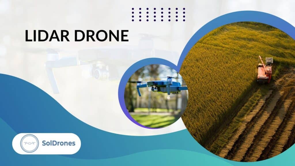
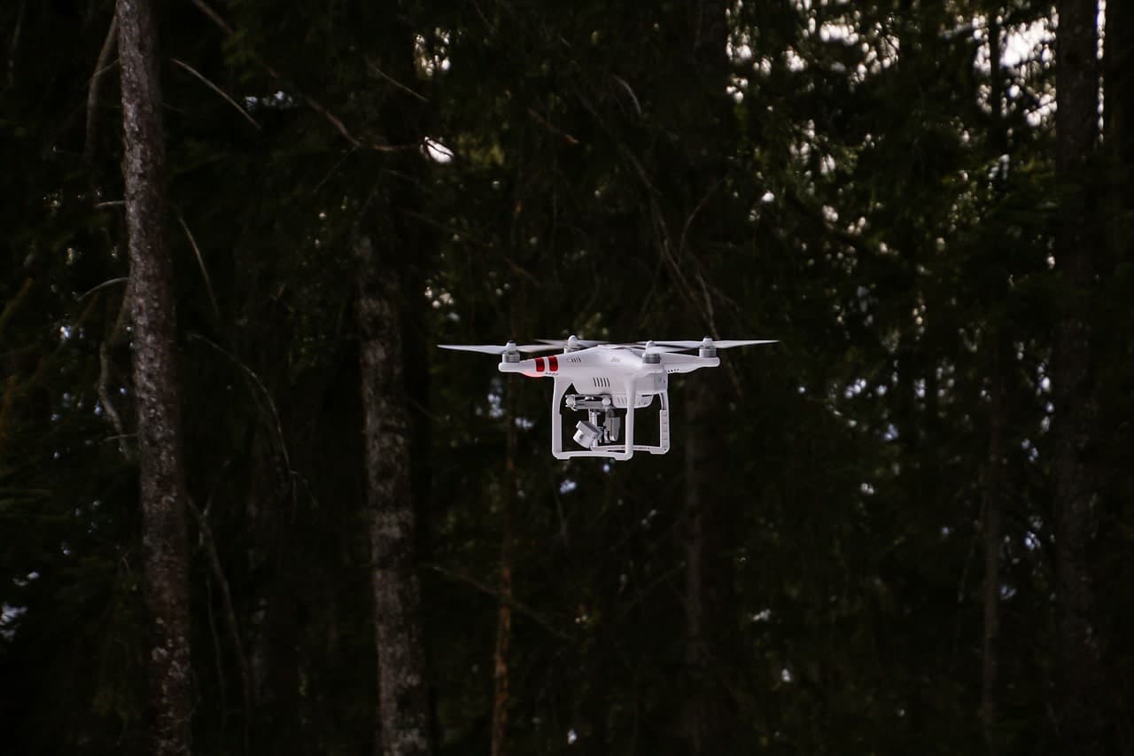
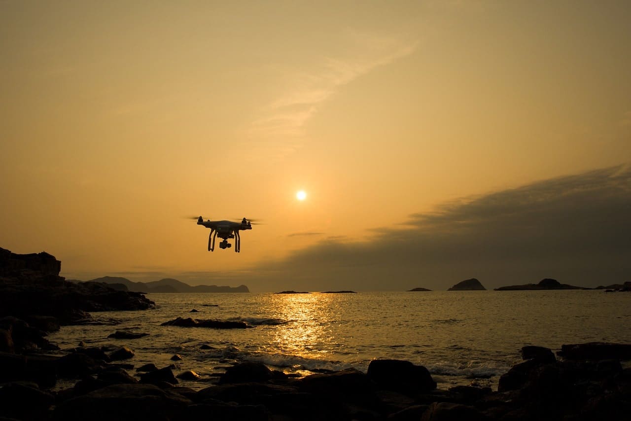
LiDAR Drones: The Future of Aerial Surveys
Gone are the days when traditional survey methods dominated the field. Today, LiDAR drones are revolutionizing aerial surveys, offering unparalleled accuracy and efficiency.
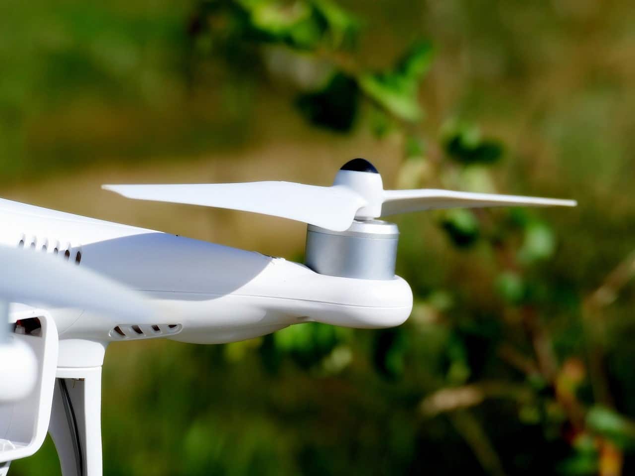
When drones are equipped with LiDAR sensors, they achieve a high-resolution capture with centimeter-level precision, creating intricately detailed digital terrain and elevation models. These flying marvels not only excel in real-time data collection but also boast advanced post-processing capabilities.
Broadly, there are three primary types of drones tailored for LiDAR: Multirotor, Fixed-wing, and Helicopter drones. Among the pioneers in this domain, Phoenix LiDAR Systems shines brightly, setting them apart from other noteworthy contenders in the industry.
Real-World Applications of LiDAR Drones
In the vast expanse of modern industries, the use of LiDAR drones is no longer a novelty, but a necessity.
Within the realms of construction, these drones play a pivotal role by offering a detailed 3D visual representation. Such intricate mapping not only elevates safety standards but also acts as a budget-friendly solution for vast project territories.
Precision agriculture, too, is reaping the benefits of this technological marvel. LiDAR drones provide in-depth insights into crop health, aiding farmers in yield optimization and ensuring a bountiful harvest.
Meanwhile, in the face of calamities, emergency services harness the power of these drones for swift disaster assessments and formulating precise rescue strategies.
Lastly, the domain of environmental exploration is enriched by LiDAR drones. From comprehensive topographic explorations to meticulous vegetation assessments, these drones capture the earth’s essence in unmatched detail.
Photogrammetry Versus LiDAR Systems
At the crossroads of aerial data acquisition, two giants stand: Photogrammetry and LiDAR. Photogrammetry, a method older than LiDAR, revolves around deriving spatial measurements from photographs. Its essence is in reconstructing a three-dimensional space from two-dimensional images.
On the other hand, LiDAR operates by emitting laser beams and measuring the time taken for their reflection. While both methodologies have their strengths, they aren’t without limitations.
Photogrammetry excels in textured environments and often comes at a lower cost. However, LiDAR shines in its ability to penetrate foliage and offer precise elevation data, especially in vegetative terrains.
Choosing between the two ultimately boils down to specific project needs. Factors such as terrain complexity, desired accuracy, and budget constraints play an influential role in this pivotal decision.
Data Processing and Interpretation
Raw LiDAR data, though valuable, remains a jumbled conundrum without the magic of post-processing software. These specialized tools take center stage, transforming vast datasets into actionable insights and visual masterpieces.
Beyond mere visualization, post-processing software facilitates the creation of detailed 3D blueprints, shedding light on terrain nuances and spatial intricacies. The leap from scattered points to refined cartographic representations signifies the true power of these digital utilities.
In the expansive realm of LiDAR data processing, certain software stands out. Recognizing their efficiency and precision is vital for optimal results. The choice of software doesn’t just streamline data interpretation but lays the foundation for informed decision-making in various industries.
Criteria for Selecting the Ideal LiDAR Drone
Choosing the perfect LiDAR drone is more than just picking the latest model on the shelf; it’s a decision tethered to specific requirements and objectives. Firstly, the rotor or wing configuration can’t be overlooked.
Whether you opt for a multirotor or a fixed-wing drone could profoundly influence the outcomes of your aerial surveys, given the agility and flight dynamics each offers.
Equally significant is the drone’s autonomy. The ideal drone should sustain prolonged flight durations, ensuring comprehensive data collection without frequent interruptions or landings.
But as you soar the skies, safety cannot be compromised. Ensuring that your UAV has built-in redundancy, is certified, and comes equipped with safety mechanisms like parachutes is imperative.
Then, there’s the ever-evolving world of drone regulations. Being well-versed with the latest certifications and rules isn’t just a good practice; it’s a necessity.
As you zero in on your choice, consider the integration aspects. How effortlessly can the LiDAR sensor be mounted onto the drone?
Lastly, while quality is paramount, economic considerations matter. Comparing the costs of various drone types while aligning them with their capabilities ensures a balance between efficiency and budget.
Forecasting the LiDAR Drone Landscape
As we gaze into the horizon, the future of LiDAR drones appears nothing short of revolutionary.
With each passing day, technological advancements are pushing the boundaries, ushering in newer, more robust applications. The coming years might witness LiDAR sensors that are even more compact, energy-efficient, and laden with features, making aerial surveys increasingly precise.
But beyond mere technical enhancements, it’s the transformational impact on industries that truly captures the imagination. Picture a world where real estate developers can instantaneously map out vast plots of land or archaeologists can non-invasively survey ancient sites.
LiDAR could even penetrate deeper into the realm of environmental conservation, facilitating accurate tracking of deforestation or glacier movements.
In essence, as LiDAR technology evolves, its ripple effects are set to redefine entire industries, making processes swifter, more accurate, and significantly more insightful.
Final Thoughts
In the ever-evolving realm of technology, LiDAR drones stand out as a beacon of innovation, transforming how we perceive and interact with our environment.
From their unparalleled precision in mapping and data collection to their revolutionary applications across diverse sectors, these drones are reshaping industries.
The choice between photogrammetry and LiDAR, the intricacies of data interpretation, and the forward-looking projections only underscore their pivotal role in our future.
As we continue to push technological boundaries, one thing remains certain: LiDAR drones are not just a fleeting trend, but a cornerstone of the next technological epoch.
FAQs
What is the primary function of LiDAR technology in drones?
LiDAR, or Light Detection and Ranging, is a remote sensing method used in drones to measure distances by illuminating a target with laser light and analyzing the reflected light. It’s particularly adept at creating high-resolution maps and 3D models with centimeter-level accuracy.
How do LiDAR drones differ from traditional survey methods?
LiDAR drones offer a more efficient, accurate, and comprehensive aerial survey compared to traditional methods. Equipped with LiDAR sensors, these drones can achieve high-resolution data, produce intricate digital terrain models, and collect real-time data, making them superior in many mapping and surveying applications.
Why might someone choose photogrammetry over LiDAR?
While LiDAR excels in mapping and 3D modeling, photogrammetry involves capturing images and using them to make measurements. It might be preferred in situations where visual details and textures are paramount, and it can be more cost-effective in certain applications.
How crucial is post-processing software in interpreting LiDAR data?
Post-processing software is pivotal in LiDAR data interpretation. It aids in extracting actionable insights, crafting 3D blueprints, and producing detailed cartographic representations, transforming raw LiDAR data into usable and insightful information.
What should be considered when selecting the ideal LiDAR drone?
When selecting a LiDAR drone, it’s essential to consider rotor/wing configurations, drone autonomy for flight durations, safety prerequisites like redundancy and certifications, adherence to operation regulations, integration simplicity for mounting LiDAR systems, and the overall economic implications of the drone type chosen.