
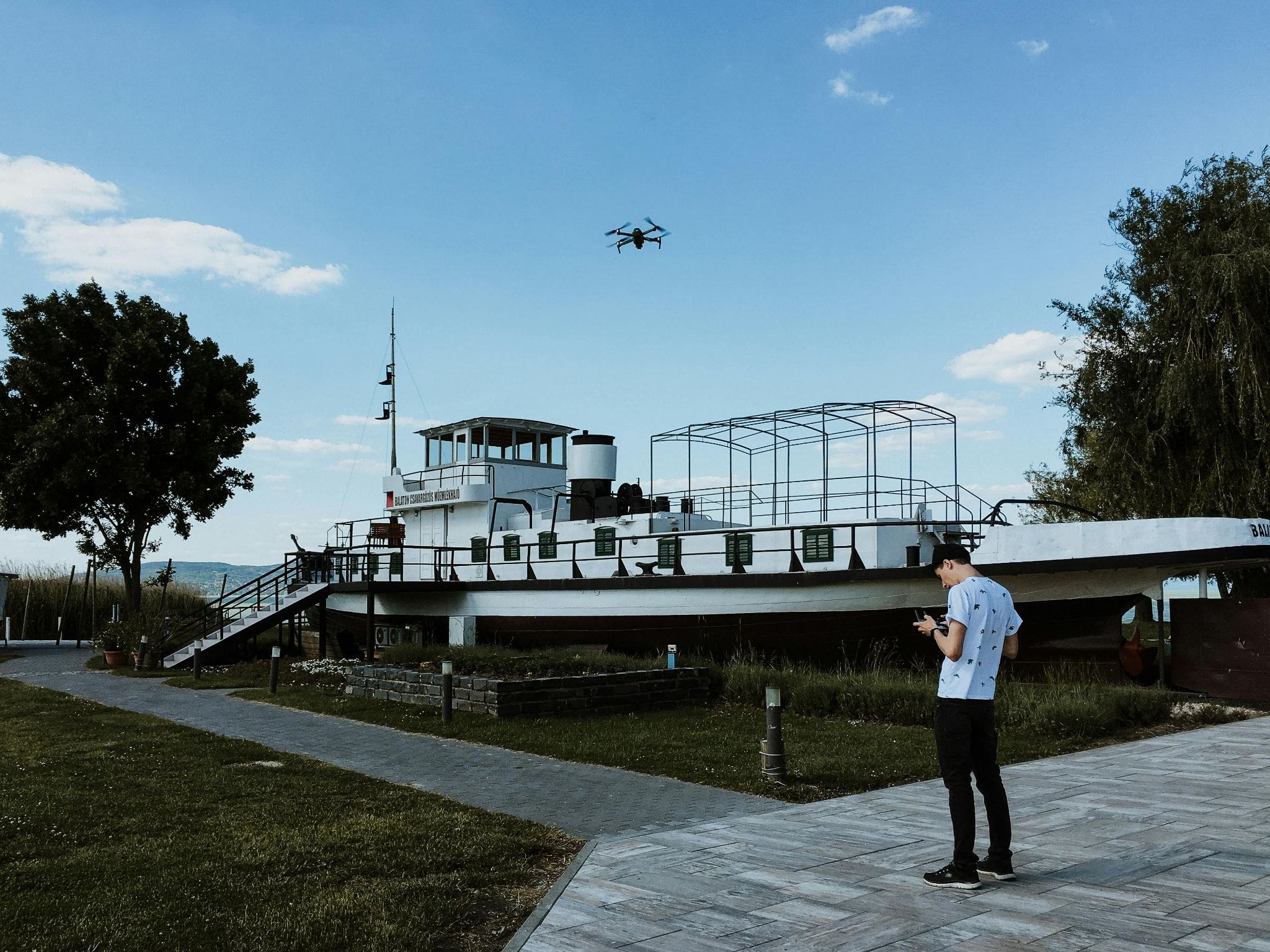
Video Credit: Geoff Brabec Drones + Tech
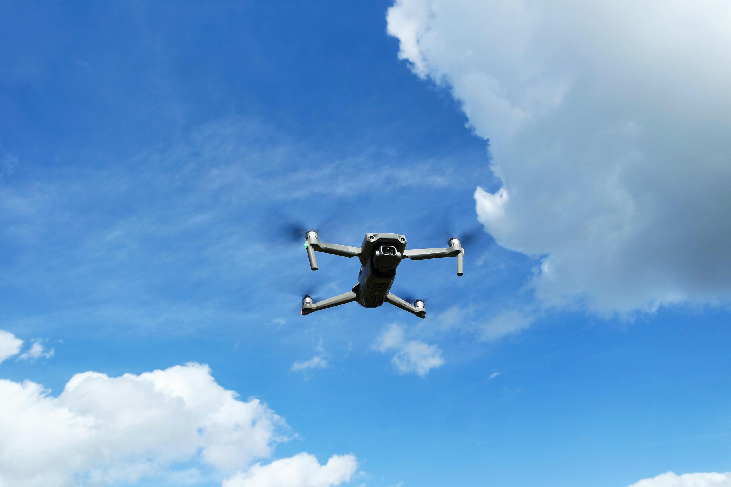
The Crucial Role of GPS in Drone Technology
GPS in drones is more than just a tool for navigation; it’s a critical component that significantly enhances flight safety and operational efficiency.
This section explores how GPS impacts drone technology, particularly focusing on flight safety and navigation.
How GPS Enhances Safe Drone Flight and Navigation
- Stable Navigation: GPS helps drones maintain a steady flight path, crucial in challenging conditions.
- Precise Waypoint Navigation: It allows drones to follow predefined paths for complex but accurate aerial routes.
- Safety Mechanisms: GPS is essential for safety features like Drone Return to Home, and guiding drones back safely in case of signal loss or low battery.
- Geofencing: This feature uses GPS to prevent drones from entering restricted zones, improving compliance and safety.
Understanding the Global Positioning System in Drones
GPS, based on satellite technology, gives drones the ability to understand their position relative to the Earth.
This capability is not just for basic orientation; it’s vital for advanced operations like aerial mapping, automated patrols, and scientific research.
The accuracy of GPS data is key to the drone’s performance, influencing tasks from simple hovering to executing complex missions.
This technology has made drones more than just flying cameras; they are now sophisticated tools for various applications, thanks to the precision and reliability offered by GPS.
In essence, GPS has transformed drones into highly capable and safe devices, crucial for both recreational and professional applications.
As drone technology evolves, the integral role of GPS in ensuring efficient and precise operations remains undeniable.
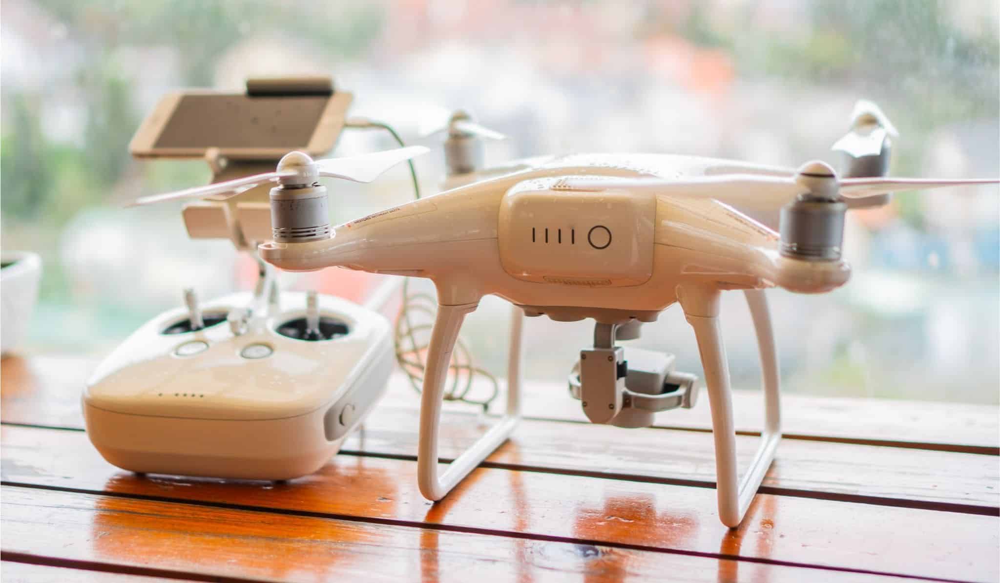
Advanced Control: Remote Controllers and GPS Integration
As drone technology has advanced, so have the capabilities of remote controllers, evolving from simple joystick operations to sophisticated interfaces integrated with GPS technology.
Features and Evolution of Drone Remote Controllers
- Enhanced Connectivity: Modern controllers offer extended range and stronger signal connectivity for uninterrupted control.
- Integrated Displays and Telemetry: Many now feature built-in screens displaying vital flight data and video feeds directly from the drone.
- Customizable Controls: Advanced controllers provide customizable buttons and settings for personalized control experiences.
- Smart Device Compatibility: Integration with smartphones and tablets for additional control options and features.
The Interplay Between GPS and Remote Control in Drones
The integration of GPS with a drone remote controller has been a game-changer.
This combination allows pilots to execute complex flight plans with precision.
GPS data relayed to the controller offers real-time tracking and monitoring, enhancing situational awareness during flights.
This integration also enables advanced features like waypoint navigation, where pilots pre-program a flight path that the drone autonomously follows.
Furthermore, GPS integration is crucial for safety features like the Return to Home function, allowing drones to autonomously return to their takeoff point in case of signal loss or low battery.
The fusion of GPS technology with advanced remote controllers has significantly expanded the capabilities and safety of drone operations, allowing for more precise, reliable, and intuitive control over these sophisticated flying machines.
Managing Low Battery Challenges in GPS Drones
In GPS drone operations, effectively managing battery life is key to ensuring both performance and safety.
A drone’s battery life not only affects its operational capabilities but also the efficiency of its GPS functions.
Understanding the impact of a low battery and employing strategies to extend battery life is crucial.
How Low Battery Influences GPS Drone Performance
A depleted battery can significantly limit a drone’s range and responsiveness.
This becomes especially critical for GPS-dependent features like Return to Home, where a low battery may compromise safety and operational integrity.
Strategies for Extending Battery Life in Drones
Before embarking on a flight, it’s important to consider strategies that can help maintain a long battery life. These include:
- Efficient Flight Planning: Optimizing routes to reduce battery drain.
- Regular Battery Maintenance: Ensuring proper charging and storage.
- Weight Reduction: Lightening the load to conserve energy.
- Power-Saving Features: Utilize these settings when possible.
- Battery Status Monitoring: Keeping tabs on battery health and charge levels.
By implementing these measures, pilots can significantly improve their drone’s battery performance, thus enhancing GPS reliability and overall flight safety.
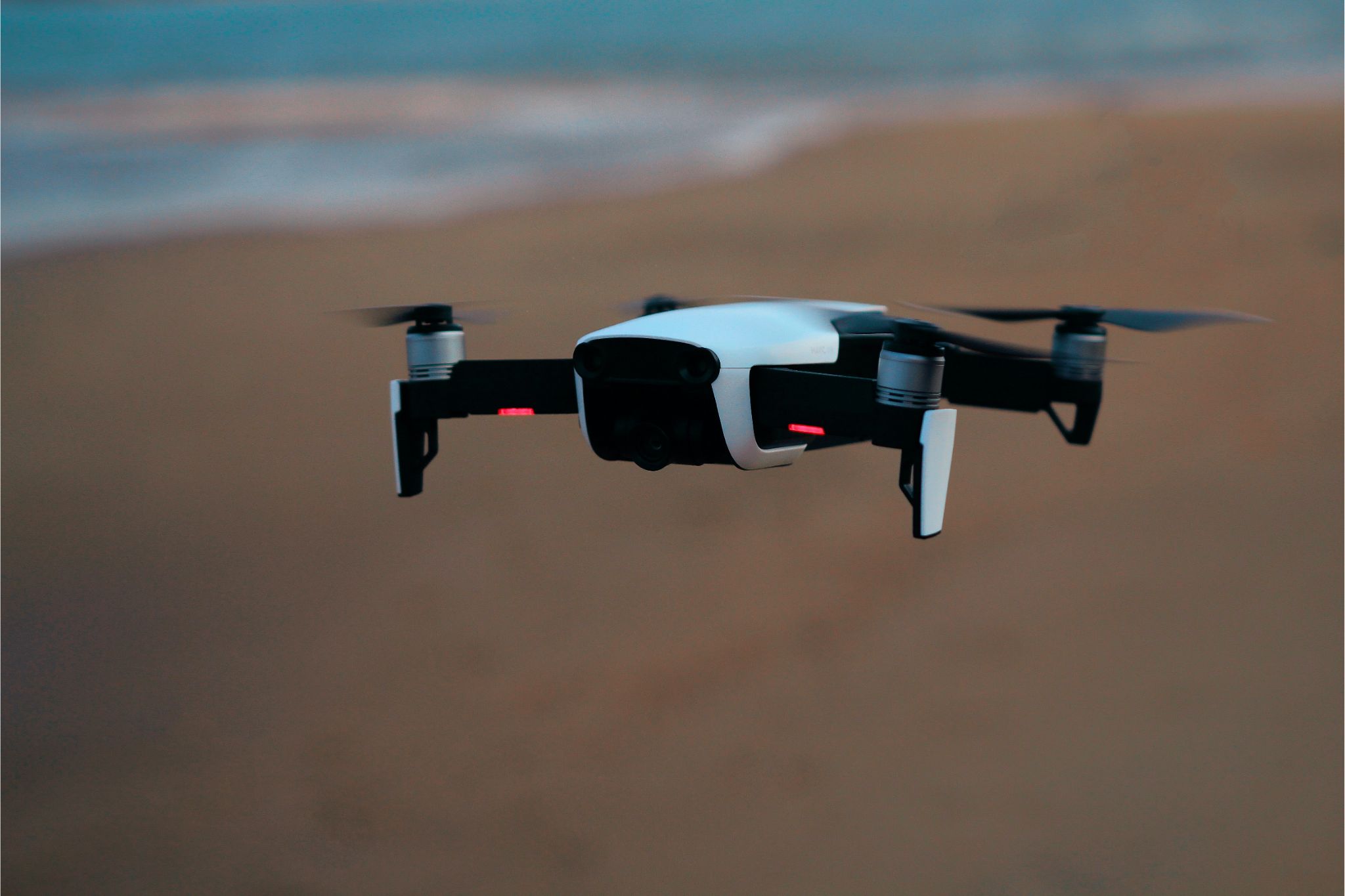
Innovations in Camera Drones and GPS Utilization
GPS technology with camera drones has dramatically transformed aerial photography and videography.
The Role of GPS in Enhancing Camera Drone Capabilities
GPS has elevated camera drones beyond basic flight, enabling precise hovering for stable imagery, and adding value through geotagging photos and videos.
It facilitates dynamic filming techniques with advanced flight modes like waypoint navigation and follow-me.
Crucially, GPS also fortifies safety, ensuring drones can autonomously return to their launch point during emergencies, vital for complex shoots.
Evaluating Camera Quality in Different GPS Drones
Camera quality in GPS drones varies widely, from modest hobbyist models to professional-grade drones with 4K video capabilities, high frame rates, and superior sensors for enhanced low-light performance.

The choice depends on user needs, ranging from casual photography to high-end cinematography.
Premium drones often feature advanced stabilization systems like gimbals, crucial for smooth, cinematic footage.
This blend of high-caliber cameras and GPS technology defines top-tier drones, offering unparalleled experiences in aerial photography and videography.
In sum, GPS integration in camera drones has led to groundbreaking advancements in both functionality and image quality.
As this technology continues to evolve, we can anticipate more sophisticated drone models, combining cutting-edge GPS features with exceptional camera systems, further revolutionizing aerial imaging.
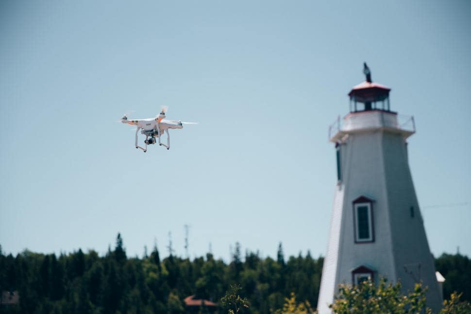
GPS Signal and its Influence on the Drone’s Home Point
GPS technology not only guides a drone’s flight but also plays a crucial role in defining and maintaining the drone’s recorded home point.
This section examines the significance of setting a reliable home point and the factors that influence the accuracy of the GPS signal and, consequently, the home point location.
Setting and Reliability of the Drone’s Home Point Location
The home point in a drone is essentially its reference point for navigation and safety functions, like the Return to Home (RTH) feature.

Typically, the home point is set at the drone’s takeoff location, using GPS coordinates.
The reliability of this setting is paramount for the safe operation of the drone, particularly if the drone needs to return autonomously due to a lost signal or low battery.
The precision with which the home point is set and maintained directly affects the drone’s ability to return to its exact launch location.
This is crucial in scenarios where the drone is operating in close proximity to obstacles or in complex environments.
Factors Affecting GPS Signal and Home Point Accuracy
Several factors can impact the accuracy of the GPS signal in drones, thereby influencing the home point’s reliability. These include:
- Environmental Conditions: Tall buildings, dense foliage, or other large obstructions can interfere with the GPS signal.
- Satellite Visibility: The number of satellites the drone’s GPS can connect to affects accuracy; more satellites typically mean better precision.
- Weather Conditions: Extreme weather can sometimes disrupt GPS signals.
- Magnetic Interference: Nearby magnetic fields from power lines or large metal structures can distort the GPS signal.
The accuracy of the GPS signal is fundamental to the reliability of a drone’s home point. Understanding and mitigating the factors that can affect GPS accuracy is crucial for the safe and effective operation of GPS-enabled drones.
Best Practices for a Safe and Efficient GPS Drone Flight
Navigating the skies safely and efficiently with a GPS-enabled drone requires more than just technical know-how; it demands adherence to best practices that enhance safety and operational efficiency.
Tips for Maximizing Safety During GPS-Enabled Flights
Safety in GPS drone flying hinges on a combination of preparation, awareness, and the use of technology. Here are some key tips to ensure safe GPS-enabled flights:
- Pre-Flight Checks: Always perform a comprehensive pre-flight check which includes verifying GPS signal strength and calibrating the drone’s compass.
- Stay Informed About Weather Conditions: Adverse weather can affect GPS accuracy and drone stability. It’s crucial to check weather forecasts and avoid flying in unfavorable conditions.
- Maintain Line of Sight: Despite GPS capabilities, keeping the drone within your visual line of sight ensures better control and quick response to unexpected situations.
- Understand the Area’s Airspace Restrictions: Be aware of and respect airspace regulations in your flight area to avoid entering restricted zones.
- Use RTH Responsibly: Familiarize yourself with the drone’s Return to Home function and use it judiciously, especially in areas with obstacles or when the battery is low.
- Stay Updated on Firmware and Software: Regular updates often include improvements in GPS functionality and overall flight safety.
The Importance of Obstacle Avoidance in GPS Drones
Obstacle avoidance technology is a critical safety feature in GPS drones.
This system uses sensors to detect and avoid physical obstacles in the drone’s path, enhancing safety during autonomous flights and when using GPS-based features like waypoint navigation or follow-me.
Obstacle avoidance is particularly vital in complex environments where manual control might be challenging.
It not only prevents collisions but also ensures that the drone can safely execute its flight plan, especially during automated operations like RTH.
As GPS drones become more sophisticated, the integration of advanced obstacle avoidance systems is increasingly becoming a standard, ensuring safer and more reliable flights.
Adhering to these best practices and utilizing obstacle avoidance technologies are fundamental to achieving safe and effective flights with GPS drones.
As drone enthusiasts and professionals continue to explore the skies, prioritizing these aspects will ensure that their aerial adventures remain safe and enjoyable.
Exploring Advanced Flight Modes in GPS Drones
The advent of GPS technology in drones has not only simplified navigation but has also introduced a suite of advanced flight modes, enhancing the capabilities of these high-flying machines.
The Integration of GPS Auto Return and Advanced Flight Modes
One of the most significant advancements in GPS drone technology is the Auto Return (RTH) feature, seamlessly integrated with other advanced flight modes.
This integration allows drones to automatically return to their takeoff point in case of a lost signal or low battery, ensuring the drone’s safety.
Moreover, advanced flight modes, such as waypoint navigation, orbit, and follow-me, are enhanced by the precision of GPS.
These modes enable drones to execute complex flight paths and maneuvers, offering pilots more creative control and operational flexibility.
The ability to pre-program routes and actions, relying on the drone’s GPS to execute these plans accurately, represents a major leap in drone technology.
Leveraging GPS for Enhanced Drone Flight Capabilities
GPS technology in drones isn’t just about navigation; it’s about expanding their operational potential.
Pilots can leverage GPS for tasks like precise aerial mapping, surveillance, and automated patrols.
These capabilities are invaluable in professional settings, such as agriculture, real estate, and filmmaking.
GPS also plays a critical role in enhancing drone stability and reliability, which is crucial for capturing high-quality aerial footage and executing sensitive operations.
The integration and leveraging of GPS technology in drones have opened up new horizons in their capabilities.
From advanced flight modes that offer creative freedom to practical applications that transform industries, GPS technology continues to be at the forefront of drone innovation, making them more versatile, reliable, and indispensable tools in various fields.
GPS Accuracy and its Impact on Drone Operations
The precision of GPS in drones is more than just a technical detail; it is fundamental to their operational effectiveness and reliability.
GPS accuracy is crucial in drones, as it determines their capability to pinpoint exact locations.
This accuracy hinges on various factors, including the number of satellites connected to the drone’s GPS and the quality of the GPS receiver itself.
To enhance GPS precision, drone manufacturers are constantly refining the GPS modules and software algorithms.
Drone operators can also contribute to this accuracy by ensuring a clear, unobstructed view of the sky during flights, allowing for better satellite signal reception.
Additionally, keeping the drone’s firmware up-to-date is vital as updates often include improvements to the GPS system.
The significance of GPS accuracy extends to critical safety features like the Return to Home (RTH).
This feature relies heavily on precise location data to autonomously navigate the drone back to its takeoff point, especially in scenarios like lost control signals or low battery situations.
High GPS accuracy ensures that the drone can return to its home point with minimal deviation, reducing the risk of accidents or loss.
Therefore, the effectiveness of RTH and similar features is directly linked to the GPS’s ability to deliver consistent and accurate location data.
Achieving and maintaining high GPS accuracy is essential for the safe and efficient functioning of drones. As the technology evolves, this aspect remains a pivotal focus for manufacturers and users alike, ensuring drones can reliably perform their designated tasks.
Understanding the Technicalities of the RTH Feature
The Return to Home (RTH) feature in drones is a critical safety mechanism that has evolved significantly over time.
It’s essential for drone operators to understand how this feature works across different drone models, as well as its real-world applications and limitations.
How RTH Works in Different Drone Models
RTH functionality can vary depending on the drone model. In most cases, the feature is activated either manually by the pilot or automatically under certain conditions, such as signal loss or low battery.
Once activated, the drone uses its GPS to navigate back to its takeoff point.
High-end models may include more sophisticated RTH options, such as obstacle avoidance during the return flight, or the ability to recalibrate the home point mid-flight if the takeoff location is no longer safe or accessible.
Before exploring the practical applications and limitations of RTH, it’s important to understand that this feature is not a one-size-fits-all solution and may behave differently based on the drone’s design and capabilities.
Real-World Applications and Limitations of the RTH Feature
- Emergency Recovery: RTH is vital for bringing the drone back safely in case of control loss.
- Preventative Measure: Acts as a safety net during unexpected situations like sudden weather changes.
- Photography and Filming: Assists in managing drones during complex shoots, ensuring safe retrieval.
However, there are limitations to consider:
- Obstacle Clearance: Not all drones can detect or avoid obstacles during RTH.
- GPS Dependence: RTH relies heavily on GPS accuracy; poor signals can lead to errors.
- Environmental Factors: Factors like wind and weather can affect the RTH path and success.
While the RTH feature adds a layer of safety and convenience to drone operations, it is not infallible.
Understanding the specifics of how RTH functions in your drone model, along with its practical applications and potential limitations, is crucial for safe and effective drone use.
This knowledge allows operators to make informed decisions and utilize the RTH feature to its fullest potential.
The Significance of Home Altitude in Drone Flights
In the realm of drone operations, setting the correct home altitude is a crucial aspect, especially when it comes to the safe execution of Return to Home (RTH) operations.
Home altitude refers to the altitude at which the drone will return to its home point during an RTH procedure.
It’s a setting that needs careful consideration to ensure the drone’s safe passage back to its takeoff location, avoiding any potential obstacles along the way.
Setting the right home altitude is a balancing act.
On one hand, it needs to be high enough to clear any obstacles in the environment, such as trees, buildings, or other structures.
On the other hand, setting it too high can unnecessarily use up battery power, especially if the drone needs to ascend to this altitude before returning home. The ideal home altitude varies depending on the flying environment.
In urban areas with tall buildings, a higher home altitude might be necessary, whereas in open fields, a lower altitude could suffice.
Navigating the challenges with home altitude settings in drones involves understanding the flying environment and assessing potential obstacles.
Pilots should conduct a pre-flight survey of the area to determine the highest obstacle and set the home altitude accordingly.
Some advanced drones come equipped with obstacle avoidance technology, which can provide an added layer of safety during RTH operations, but pilots should not rely solely on this technology.
Environmental factors such as wind speed and direction can also impact the RTH operation.
For instance, a higher altitude might expose the drone to stronger winds, potentially affecting its flight path. Therefore, understanding and adjusting the home altitude setting is crucial for safe RTH operations.
By properly setting and managing the home altitude, drone pilots can significantly reduce the risk of collisions and ensure a safe return for their drones.
Exploring the Spectrum of Drone Prices: From Budget to Expensive Models
The drone market today offers a wide spectrum of models, ranging from budget-friendly options to high-end, expensive units. This diversity in pricing often reflects the capabilities and features of the drones, particularly in terms of GPS and RTH functionalities, as well as camera and flight features.
When assessing the cost-effectiveness of GPS and RTH features in drones, it’s evident that even budget models now include these functionalities, though with varying degrees of sophistication.
Entry-level drones might offer basic GPS and RTH capabilities, sufficient for novice users or those with limited requirements.
However, as the price increases, so does the precision, reliability, and range of these features.
In the realm of camera and flight features, the price range also dictates the quality and advanced nature of the offerings.
Lower-priced drones typically come with standard cameras suitable for basic photography and videography, whereas mid-range to expensive models boast higher resolution cameras, superior stabilization technologies, and advanced flight modes that cater to professional-grade cinematography and aerial photography.
These high-end drones may offer enhanced GPS accuracy, longer flight times, and more robust RTH systems, ensuring safer and more efficient operations.
Therefore, when navigating the drone market, it’s crucial to align the choice of the drone with individual needs and budget constraints.
While budget models provide a gateway into drone flying, more expensive drones offer enhanced capabilities for professional use, reflecting the correlation between price and the sophistication of GPS, RTH, camera, and flight features.
Final Thoughts
In conclusion, the world of drones is vast and ever-evolving, with GPS technology playing a pivotal role in enhancing their capabilities.
From ensuring the safety and reliability of the Return to Home feature to advancing flight operations with sophisticated GPS and camera systems, drones have transformed significantly.
The integration of GPS has not only made drone flying safer but also more versatile, catering to a wide range of applications from amateur photography to professional cinematography.
Additionally, the market offers drones for every budget, each with varying levels of GPS, camera, and flight features.
Understanding these aspects is crucial for anyone looking to navigate the complex yet fascinating world of drones, whether for recreational or professional purposes.
FAQs
How does the Return to Home (RTH) feature work in drones?
RTH is activated manually or automatically in emergencies like low battery or signal loss, using GPS to navigate the drone back to its takeoff point.
What factors affect GPS accuracy in drones?
GPS accuracy in drones is influenced by environmental conditions, satellite visibility, weather, and nearby magnetic fields.
Can I adjust the home altitude in my drone for safer flights?
Yes, home altitude can be set in the drone’s settings, ensuring it’s high enough to avoid obstacles but not so high that it drains the battery quickly.
Are expensive drones always better in terms of GPS and camera features?
While expensive drones often offer advanced GPS and camera features, budget drones also provide basic functionalities suitable for casual use or beginners.
What are the best GPS drones?
The best GPS drones offer solid GPS functionality for reliable navigation and safety; popular choices include the DJI Mavic Series and the Autel Evo 2.