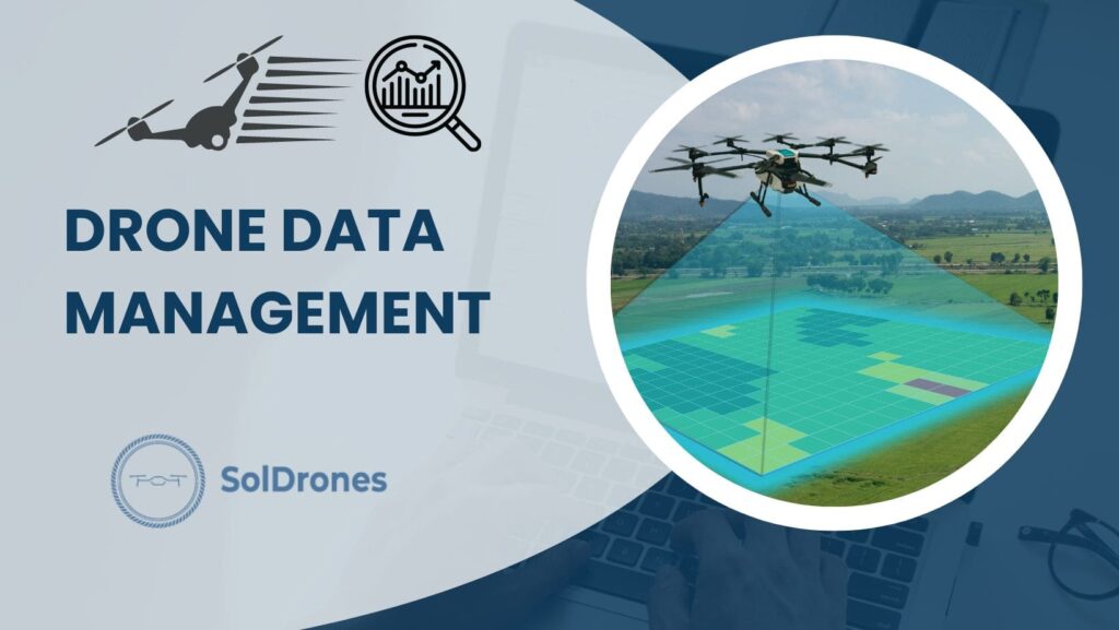
Understanding Drone Data: Types and Importance
Navigating the realm of drone data unveils a spectrum of types, each with unique importance in the grand scheme of operations. Here’s a breakdown:
- Aerial Data: Offers a bird’s-eye view of landscapes. Ideal for sectors like real estate, urban planning, and disaster management.
- Mapping Data: Precision-focused data is used in industries like agriculture and construction, where accuracy is paramount.
- Inspection Data: A linchpin for sectors such as energy and manufacturing, drones allow for detailed assessments of intricate structures like power lines or pipelines.
Central to all these is the significance of the images captured:
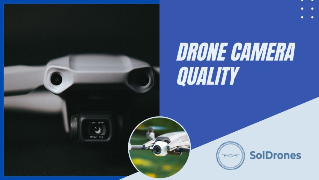
- High-Resolution Visuals: They don’t just paint a picture but influence critical decision-making processes. Such images empower businesses to make informed choices, mitigating risks and ensuring efficient resource allocation.
Drone data isn’t just numbers and visuals; it’s the backbone of modern, data-driven decision-making.
Memory Management: Storing Drone Data
In the vast digital landscape of drone operations, one small component holds immense significance: the drone memory card.

- Crucial Data Capture: Much like the brain’s neurons storing memories, a drone memory card is the primary repository for all aerial insights. Its quality and capacity directly influence the quantity and clarity of data accumulated.
- Best Practices in Management: More than just having data, safeguarding it is paramount. Regularly transferring data from the memory card to a secure system ensures safety and readies the drone for its next mission.
- Backup, Backup, Backup: Creating multiple data backups on cloud storage or external drives is a non-negotiable step. It prevents potential data loss and aids in seamless operations down the line.
While drones might be the show’s stars, the humble memory card often clinches the performance. Proper management and backup practices elevate the value of every flight undertaken.
Drone Data Security: Protecting Your Information
Securing drone information has become a paramount issue in this digital age. As drones canvas the skies, they amass a wealth of information – but with great data comes great responsibility.
- Emerging Concerns: By their very nature, drones are vulnerable to hacks and unauthorized data access. Compromising sensitive information can have far-reaching consequences, from business confidentiality breaches to national security threats.
- Encryption as the First Line of Defense: Encryption lies at the heart of data protection. Converting data into a code thwarts unauthorized access, ensuring that only those with the right ‘key’ can unlock the treasure trove of information.
- Fortifying Storage Solutions: Beyond encryption, selecting secure storage solutions is vital. Opt for platforms that offer multiple layers of security, ensuring that data remains sealed away from prying eyes.
With the right security measures, we can harness the full potential of drone technology while upholding the sanctity of the information they collect.
Drone Data Management Software: Making Sense of the Data
Drone data management software is a beacon, transforming raw aerial captures into intelligible insights.
If you haven’t seen how companies like Optelos manage drone data, check out this quick clip from the Commercial UAV Expo:
Video Credit: Commercial UAV Expo
These software solutions organize and store drone data and offer tools for detailed analysis, bringing clarity to otherwise overwhelming volumes of information.
Key benefits of drone data management software include:
- Streamlined data organization and storage.
- Advanced analytics capabilities to uncover patterns and insights.
- Seamless integration with other systems for improved workflow.
When seeking the right software, it’s essential to consider:
- User-friendliness and intuitive interfaces.
- Scalability to handle both current and future data volumes.
- Compatibility with various drone models and sensors.
The crown jewel in this technological suite is drone analytics software. It doesn’t just manage the data; it interprets it. By converting vast data sets into actionable insights, businesses can make informed decisions, ensuring that the aerial view translates into on-the-ground progress
The Drone Inspection Process
Like a choreographed dance, the drone inspection process is a sequence of precise steps that ensures thorough examination and subsequent actionable findings. It commences with data collection and culminates in intricate analysis.

Core steps of the drone inspection process include:
- Deployment of drones to capture high-resolution images and videos of the target area.
- Utilizing GPS metadata from the drone to accurately geolocate each asset or point of interest.
- Leveraging drone data management software to organize, analyze, and interpret the gathered data.
In the realm of manufacturing, managing inspection data can present unique challenges:
- The vast volume of data is due to frequent inspections.
- Need for pinpoint accuracy to identify defects or inefficiencies.
- Solutions often involve specialized software tailored to manufacturing nuances and training personnel in their effective utilization.
However, with the right strategies and technologies, such as using high-quality images from drones and advanced analytics tools, this challenge can be surmounted, ensuring safety and efficiency.
Transforming Raw Data into Actionable Insights
Navigating the vast sea of data drones collect and distinguishing crucial information can seem daunting. AI and computer vision guide lighthouses in this digital tempest, illuminating patterns and anomalies that might otherwise go unnoticed.
Key functions of these groundbreaking technologies include:
- Recognizing specific components, defects, or objects in drone images.
- Sorting and categorizing findings, expediting decision-making processes.
Several industries are already experiencing transformative shifts. For instance, agriculture relies on drone data to pinpoint crop health, informing farmers on targeted irrigation or fertilization. These insights result in efficient resource allocation and early problem detection in construction.
Aligning data with organizational goals is pivotal. A utility company concerned about wildfires might prioritize data showcasing dry vegetation near power lines. In contrast, a real estate developer may focus on images that underscore structural integrity.
Ultimately, the true value emerges not from mere data collection but from its aligned interpretation, converting raw data into decisive business strategies.
The Future of Drone Data Management: Innovations and Trends
As drone technology soars to new heights, the landscape of drone data management is set for rapid evolution. With its capacity to anticipate future patterns based on historical data, predictive analytics is becoming an invaluable asset for businesses leveraging drone data.
Upcoming trends in drone data analytics include:
- Enhanced integration of AI, allowing drones to make real-time decisions during flights.
- Greater emphasis on cloud-based platforms, providing instant accessibility to drone data for teams scattered globally.

Industries are fast adapting to these futuristic shifts. Construction sectors, for example, are transitioning from merely capturing aerial shots to utilizing drones in 3D mapping and topographical studies, leveraging point clouds for more accurate representations of physical environments.
Such rapid advancements hint at a future where drones are not just data collection tools but pivotal decision-making entities, propelling businesses into uncharted territories of efficiency and innovation.
Final Thoughts
Navigating the vast world of drone data requires a nuanced understanding, from the types of data drones can capture to the software that makes sense of it all. Memory management and data security are pillars in this journey, ensuring data integrity and protection.
As industries embrace the drone revolution, software, and analytical tools are evolving to offer actionable insights. Innovative drone inspections, combined with AI-driven interpretations, are transforming raw data into invaluable assets for decision-making.
With a glimpse into the future, it’s evident that drone data management will continue to revolutionize industries. As we soar ahead, equipping oneself with knowledge and best practices remains the key to harnessing the full potential of drones in the digital age.
FAQs
What types of data can drones capture?
Drones can capture various data types, including aerial, mapping, and inspection data. The high-resolution images and videos they gather significantly influence informed decision-making across various industries.
How do I ensure the security of my drone data?
It’s crucial to prioritize drone data security by using encrypted transmission methods, selecting secure storage solutions, and regularly updating your drone’s firmware to protect against potential vulnerabilities.
What should I look for in drone data management software?
When choosing drone data management software, consider features that offer seamless data integration, user-friendly analysis tools, and capabilities for deriving actionable insights. Drone analytics software can further enhance data interpretation, providing valuable insights for businesses.
How does the drone inspection process work, especially in manufacturing?
The drone inspection process starts with data collection, where drones capture images and videos of assets. This data is then analyzed, often using specialized software. Drones inspect machinery, equipment, and infrastructure in manufacturing, identifying potential issues. Utility power line inspections, for instance, have experienced challenges in managing vast amounts of data, underscoring the importance of effective data management tools.
How are actionable insights derived from drone data?
Actionable insights are derived by transforming raw drone data using artificial intelligence and computer vision. These technologies help identify patterns, detect anomalies, and prioritize findings to align with specific business objectives. The insights gained can significantly influence decision-making processes in industries.